GPS tracking for environmental monitoring and disaster management
GPS technology has become a cornerstone in the strategies used for environmental monitoring and disaster management, significantly improving our ability to address and diminish the effects of natural calamities. By providing up-to-the-minute data and exact location details, GPS is invaluable to scientists, emergency teams, and conservationists alike.
GPS technology is crucial in disaster response for its ability to bolster preparedness and response efforts. Immediate and organized action is required when dealing with natural disasters like earthquakes, hurricanes, and wildfires. GPS technology provides instantaneous updates on the location and progression of these disasters, aiding emergency teams in efficiently organizing evacuation plans. The National Oceanic and Atmospheric Administration (NOAA) notes that GPS has greatly increased the precision of weather forecasts and early warning systems, thereby lessening their impact on people and properties.
In tracking environmental transformations, GPS technology is essential. Scientists employ GPS data to observe changes in topographies, such as beach erosion, glacier shifts, and deforestation. This data is essential for comprehending the prolonged consequences of climate change and forming approaches to counter these effects. For example, the Environmental Protection Agency (EPA) has shown how GPS has been instrumental in tracking the recession of Arctic glaciers, offering essential information that shapes climate theories and policy-making.
Conservationists use GPS to track wildlife movements, which is critical for the protection of endangered species and their habitats. GPS devices like collars and tags help track the migratory paths of various animals including elephants, whales, and birds. This information is vital for understanding the habits and necessities of these animals, which in turn informs more effective conservation efforts. The World Wildlife Fund (WWF), for instance, uses GPS to track marine turtle migration paths, which helps in implementing protections against human disturbances.
GPS is also instrumental in natural resource management by providing precise data on resource location and utilization. This helps in the sustainable management of resources such as water, minerals, and forests. Farmers utilize GPS technologies for optimal irrigation practices that minimize water waste and boost agricultural productivity while conserving water. The United Nations Food and Agriculture Organization (FAO) acknowledges that GPS has significantly increased the efficiency of resource use in farming, leading to more sustainable agricultural methods.
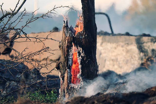
A notable application of GPS in disaster management is in managing wildfires. In fire-prone areas like California and Australia, GPS is utilized to track wildfires in real-time, which is crucial for coordinating firefighting efforts and safeguarding both the community and emergency responders. The California Department of Forestry and Fire Protection (Cal Fire) reports that GPS tracking has greatly improved wildfire management efficiency, reducing the destruction caused by these fires.
The prospects for GPS technology in environmental and disaster management are bright, with expected advancements in satellite technology and data analysis set to further enhance GPS capabilities. Emerging technologies such as drone-based GPS tracking and artificial intelligence integration promise to revolutionize how we monitor and address environmental changes and disasters.